

Makaleler
30
Tümü (30)
SCI-E, SSCI, AHCI (10)
SCI-E, SSCI, AHCI, ESCI (13)
ESCI (3)
Scopus (12)
TRDizin (12)
Diğer Yayınlar (4)


3. Visual-SLAM based 3-dimensional modelling of indoor environments
INTERNATIONAL JOURNAL OF ENGINEERING AND GEOSCIENCES
, cilt.9, sa.3, ss.368-376, 2024 (ESCI, Scopus)


4. Determination of Optimum Coordinate Transformation Parameters for GNSS and LiDAR-Based Localization in Automated Vehicles
IEEE TRANSACTIONS ON INTELLIGENT TRANSPORTATION SYSTEMS
, cilt.25, sa.10, ss.13217-13230, 2024 (SCI-Expanded, Scopus)

11. Real-Time eXtended (RTX) Konum Doğruluğuna Etki Eden Bazı Faktörlerin İstatistiksel Analizi
Afyon Kocatepe Üniversitesi Fen ve Mühendislik Bilimleri Dergisi
, cilt.21, sa.1, ss.138-146, 2021 (TRDizin)


16. Analysis of RTK Positioning Methods
SEA TECHNOLOGY FOR DESIGN ENGINEERING AND APPLICATION OF EQUIPMENT AND SERVICES FOR THE MARINE AND DEFENSE ENVIRONMENT
, cilt.59, sa.10, ss.16-18, 2018 (SCI-Expanded, Scopus)
18. Kuzey Anadolu Fayı Bolu - Çorum Segmenti Boyunca Yer Kabuğu Hareketlerinin GNSS Yöntemiyle İzlenmesi
Afyon Kocatepe Üniversitesi Fen ve Mühendislik Bilimleri Dergisi
, cilt.17, sa.3, ss.997-1003, 2017 (TRDizin)
22. Hassas Kıble Tayini
Afyon Kocatepe Üniversitesi Fen ve Mühendislik Bilimleri Dergisi
, cilt.16, sa.3, ss.665-673, 2016 (TRDizin)
Hakemli Bilimsel Toplantılarda Yayımlanmış Bildiriler
36
Kitaplar
1
Metrikler
Yayın
67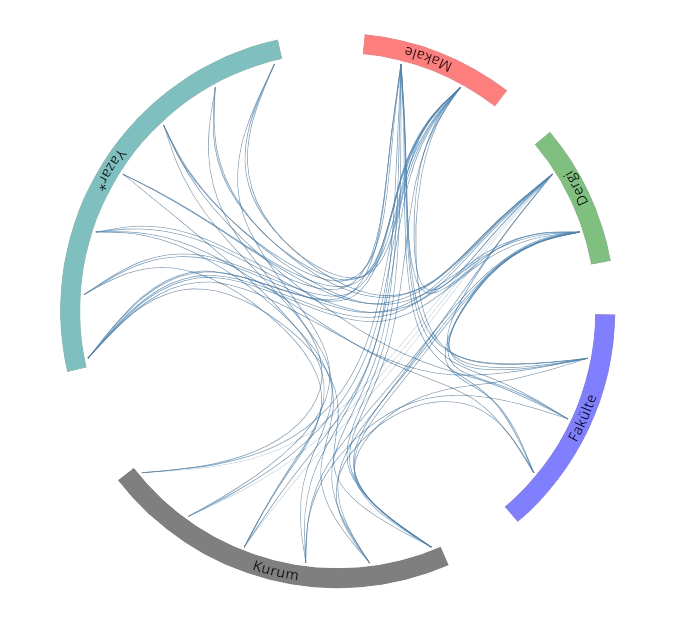
Açık Erişim
6
BM Sürdürülebilir Kalkınma Amaçları